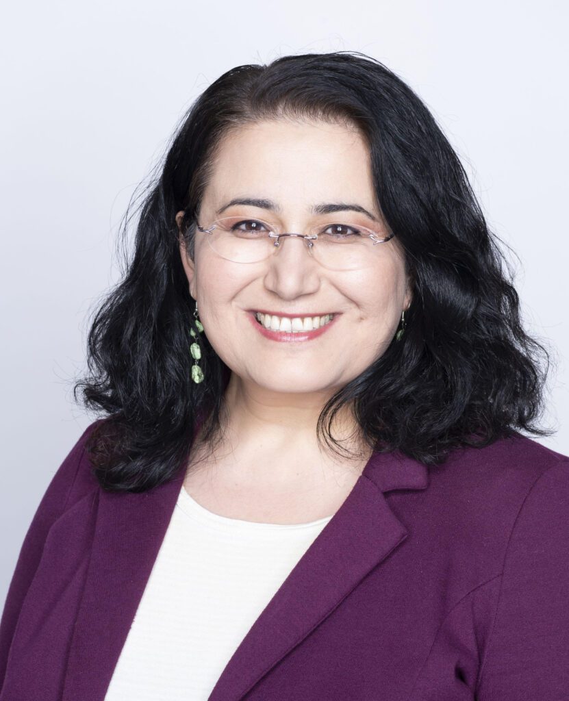
Professor Arzu Çöltekin
Dr. Arzu Çöltekin is a professor of Human-Computer Interaction, Visualization and Extended Reality, and leads the Institute of Interactive Technologies at the University of Applied Sciences and Arts Northwestern Switzerland. She is also a research affiliate at the Seamless Astronomy group in the Harvard-Smithsonian Center for Astrophysics of the Harvard University in Cambridge, USA, collaborating on scientific data analysis and visualization research. She chairs the international Extended Reality and Visual Analytics working group with the ISPRS; co-chairs the Commission on Geovisualization with the ICA, and is a council member with the International Society of Digital Earth (ISDE). Her interdisciplinary work covers topics related to information science, visual analytics, visualization and cartography, virtual/augmented reality, gaze-contingent displays, eye-tracking, vision (perception and cognition), and human-computer interaction.
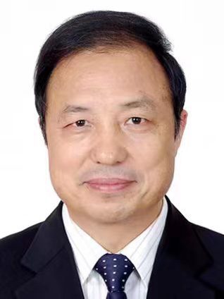
Professor Huadong Guo
Dr. Guo Huadong is Director General of the International Research Center of Big Data for Sustainable Development Goals, and a Professor and an Academician of Chinese Academy of Sciences. He is a Fellow of the World Academy of Sciences, a Foreign Member of the Russian Academy of Sciences, a Foreign Member of the Finnish Society of Sciences and Letters, and a Fellow of the International Science Council (ISC). He presently serves as the Honorary President of the International Society for Digital Earth (ISDE), Director of the International Center on Space Technologies for Natural and Cultural Heritage under the Auspices of UNESCO, Member of ISC Global Commission on Science Missions for Sustainability, Chair of Digital Belt and Road Program (DBAR), and Editor-in-Chief of s International Journal of Digital Earth and Big Earth Data journal. He served as the Member of UN 10-Member Group to support the Technology Facilitation Mechanism for SDGs, President of ISDE and ISC Committee on Data for Science and Technology. Dr. Guo specializes in remote sensing, radar for Earth observation, and Digital Earth science. He has published more than 500 papers and 24 books, and is the awardee of 20 international and domestic prizes, including ISC Science for Sustainability Award.
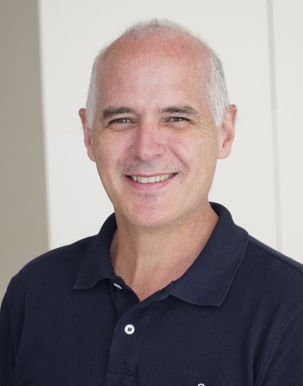
Professor Mario Santana Quintero
Dr. Santana Quintero has contributed to conserving precious world heritage sites worldwide thanks to his innovative digital documentation methods. He is cross-appointed in the Department of Civil and Environmental Engineering and the Azrieli School of Architecture & Urbanism, both in the Faculty of Engineering and Design at Carleton University. Also, Carleton Immersive Media Studio Lab (CIMS) faculty member. Besides his academic work in Canada, he served as the immediate past Secretary-General of the International Council of Monuments and Sites (ICOMOS), treasurer of ICOMOS Canada, and he is one the Honorary President of the ICOMOS Scientific Committee on Heritage Documentation (CIPA). He has collaborated on several international projects in heritage documentation for The Getty Conservation Institute and UNESCO, among others. In recent years, he was awarded a Doctorate Honoris Causa from the University of Liege (Belgium) and the Association of Preservation Technology College of Fellows membership.
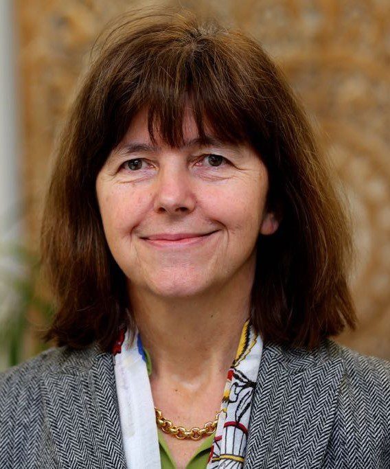
Professor Monika Sester
Dr. Monika Sester is Professor for Cartography and Geoinformatics at Leibniz University Hannover, Germany. Her research interest lies in the automation of spatial data processing – mainly using optimization and Machine Learning techniques. Methods are developed for the analysis and interpretation of vector data, trajectories and LiDAR data, as well as social media data for applications in mobility, autonomous driving, environmental risk analysis and sustainable cities.